Research
My work develops UAV-borne ground-penetrating radar (GPR) and combines it with AI to quantify how climate change is reshaping the alpine cryosphere – from snowpack structure to glacier ice thickness.
Ongoing Projects

MELT.AI
Glacier ice-thickness mapping with UAV-borne GPR and AI. MELT.AI delivers, for the first time, area-wide high-resolution measurements of glacier ice thickness and subglacial topography – thousands of precise points per glacier instead of sparse ground- or helicopter-based profiles. AI methods for data fusion and pattern recognition link ice-thickness and mass-balance data, enabling reconstruction and projection of glacier states.
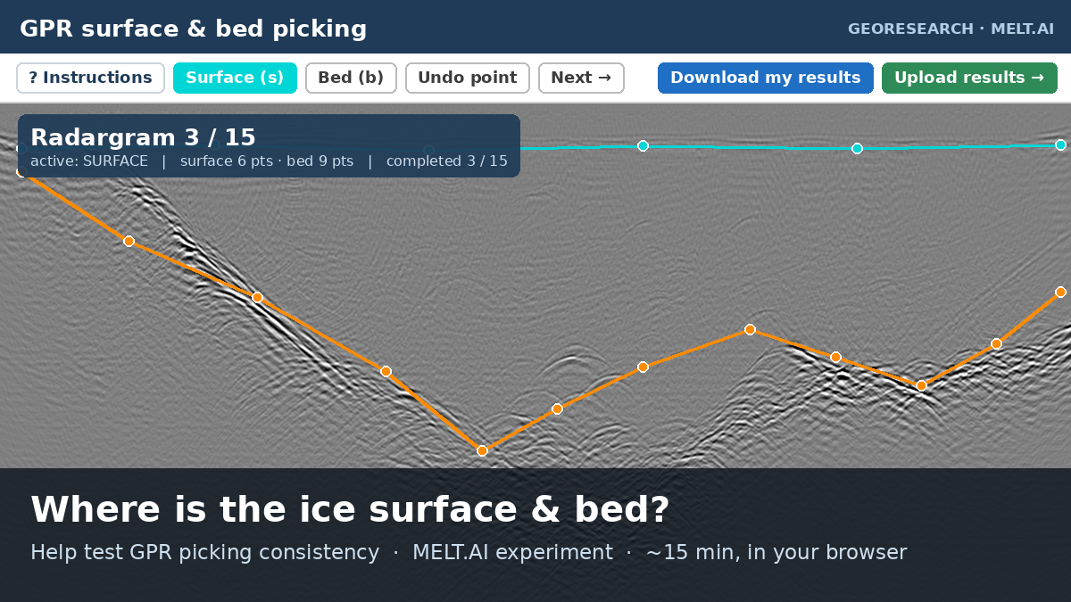
GPR Picking Experiment
A short, interactive in-browser experiment in which participants pick the ice surface and bed in real UAV-GPR radargrams. It measures how consistently these reflections are identified by hand – a human benchmark for the automated picking developed in MELT.AI. (~15 minutes)
Take part →Past Projects
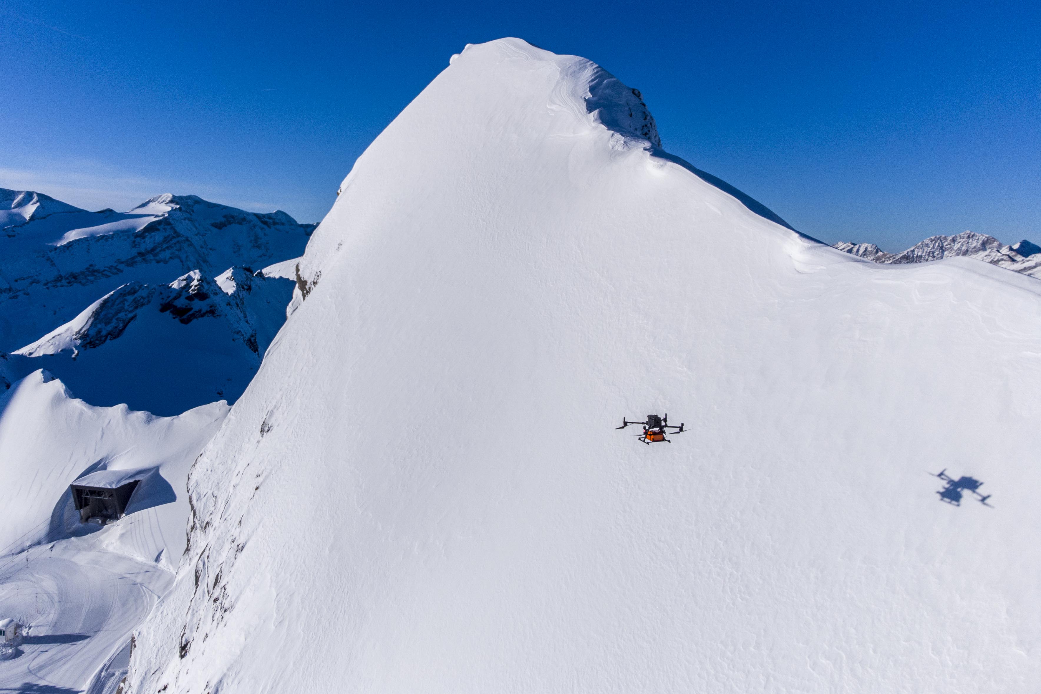
STRATIFY
Evaluation of an airborne GPR method to investigate snowpack properties. STRATIFY (FFG-funded) laid the methodological groundwork for MELT.AI, establishing UAV-GPR workflows for retrieving snow depth and internal snowpack stratigraphy across alpine terrain.
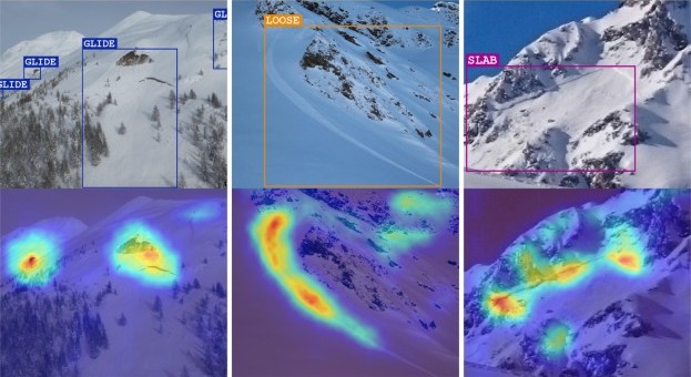
CADS – Camera Avalanche Detection System
Automatic detection of fresh avalanches from terrestrial webcam images using computer-vision AI, enabling real-time avalanche monitoring from existing camera infrastructure.